Connectivity through the power of light
FindLOS tells you, before anyone climbs a roof, whether two places can see each other.
It is made by Nav Wireless Technologies Pvt. Ltd., a company that builds links which carry data on a beam of light, and by the engineer who built it for his team.
The company
Nav Wireless Technologies Pvt. Ltd.
Nav Wireless Technologies Pvt. Ltd. is an Indian company that builds optical wireless links: data carried on light instead of radio, for smart cities, defence, healthcare, education and industry. It works with universities, public bodies and private companies, and develops its products in India.
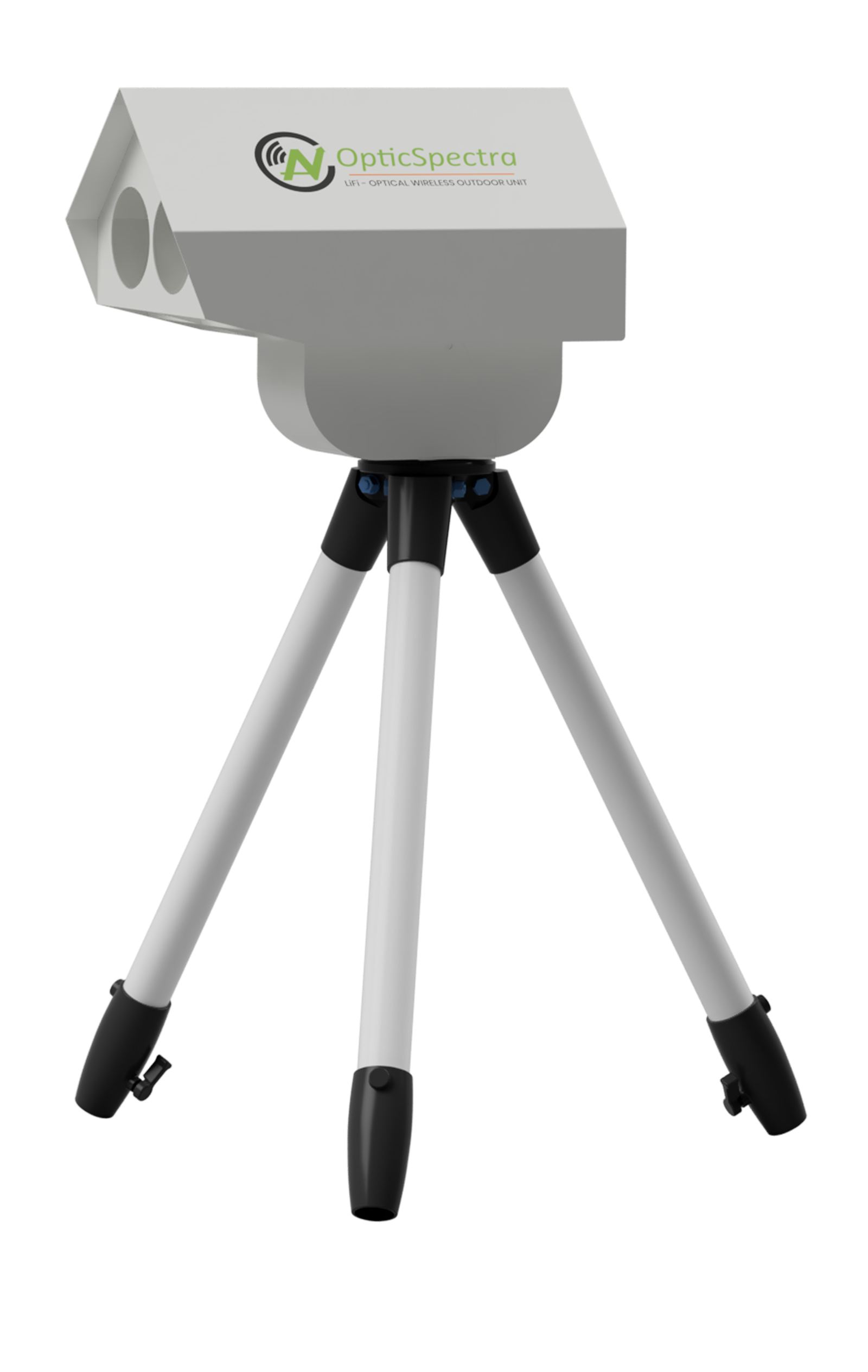
OpticSpectra — outdoors
A free-space optical link between two buildings or masts: no fiber trench and no radio spectrum. It adjusts its data rate when fog or rain weakens the beam. Made in a TEC-certified “Neo” grade and a military “Supreme” grade (JSS 55555).
Nav Ocular — indoors
LiFi: network access through light inside a room, with no radio and no radio interference.
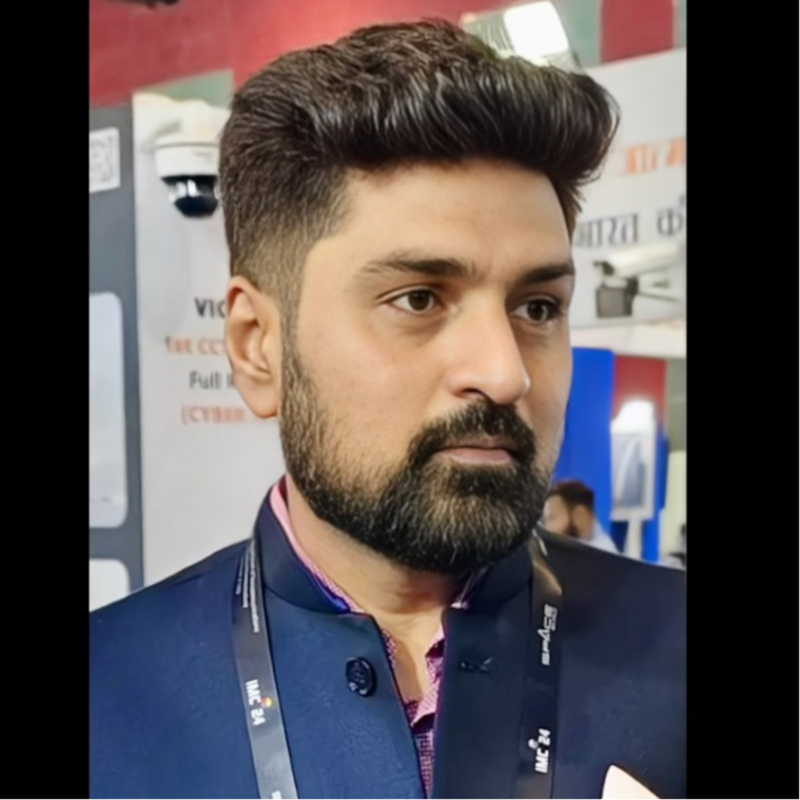
Hardik Soni — CTO & Founder
Hardik leads research and development at Nav Wireless in optical wireless communication (FSO and LiFi) and the company's partnerships with industry.
navwireless.com →The tool
What FindLOS does
An optical link only works when nothing solid stands between its two ends. Checking that used to mean reading terrain maps by hand, link by link. FindLOS does it from the ground's height along the path, the rise of the ground from the Earth's round shape, and a clearance margin for trees, new buildings and survey error — the same way for every link.
LOS Analysis
Place two sites, give their mounting heights, and see whether the ground stays below the straight beam with your clearance margin to spare.
Bulk Analysis
Check many site pairs from one Google Earth file and download the results.
Link Studio
Watch how an OpticSpectra link would behave at those two sites in different weather.
Alignment
On site, point each device at the far end with a compass bearing and tilt.
Fiber Planning
Estimate a road route for fiber between two points, to compare with a wireless link.
It was built for the Nav Wireless team first. Accounts are approved by hand; a clear answer is a reason to visit the site, not a replacement for checking it in person.
The maker
Raj Patel
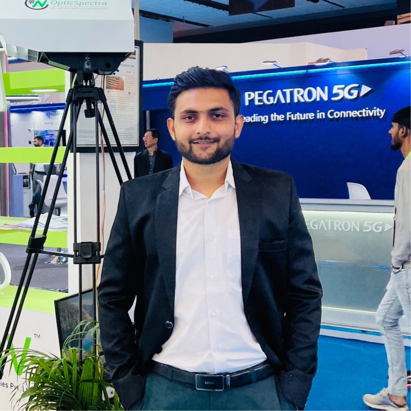
Product builder · Operations, Nav Wireless
Raj runs FSO deployments for Nav Wireless, including defence projects in remote and high-altitude terrain. He saw how much time line-of-sight checks took his team and built FindLOS to make that check quick and the same every time.
His work covers FSO links, secure networks, cloud systems and taking a project from a field trial to a working deployment.